Table of Contents
Toggle


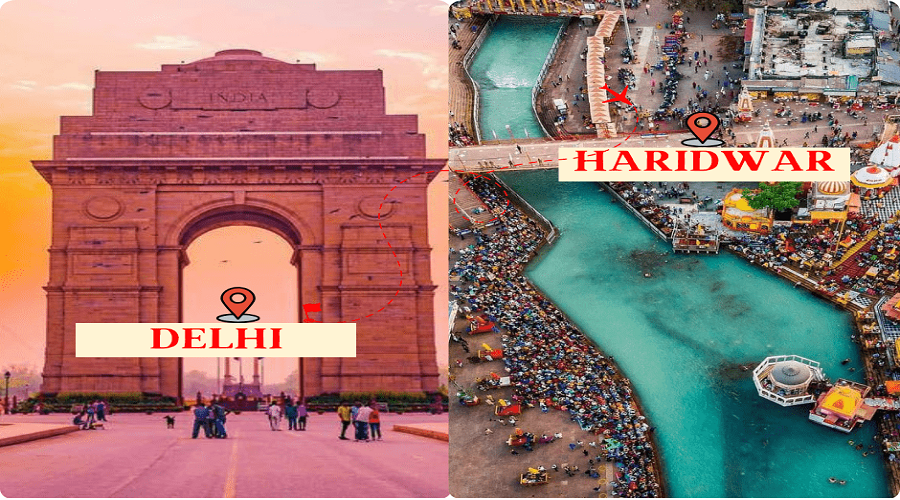
In this Haridwar distance guide, we provide a comprehensive overview of the distances from major cities to Haridwar. Haridwar, is known for its religious significance and vibrant culture. Understanding the distances from cities like Delhi, Saharanpur, Rishikesh, and Auli can help you plan your journey effectively. Whether you’re traveling by road, rail, or air, knowing the approximate distances can assist in creating a planned itinerary for your visit to this spiritual destination.
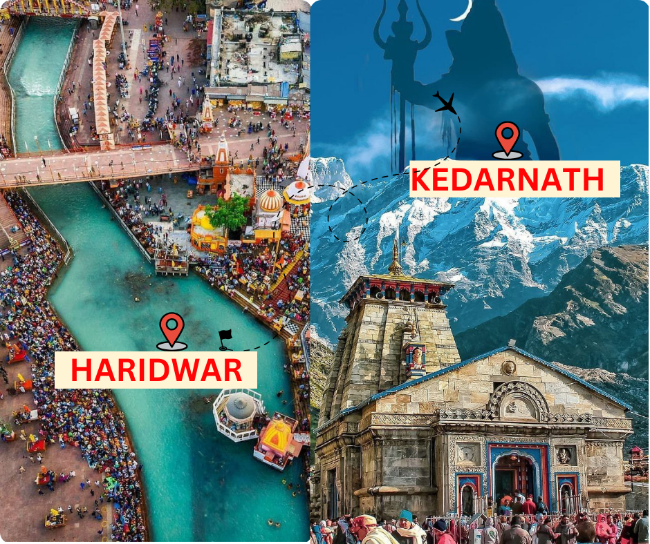
By Road- 238 Km
Road Map-
- Start from Haridwar and towards NH34.
- Continue on NH34 for about 50 kilometers
- At Srinagar, continue straight on NH7.
- you will reach Rudraprayag.
- From Rudraprayag, take the road towards Augustmuni and continue for 50 kilometers.
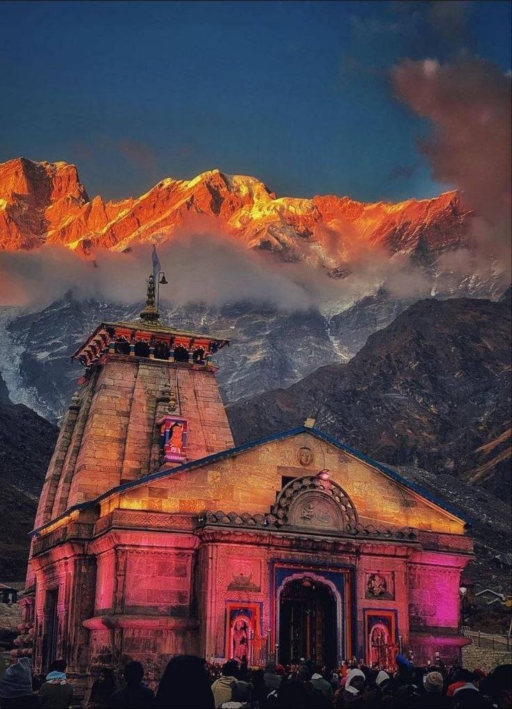
- Finally, you will reach Gaurikund, the base camp for Kedarnath to reach Kedarnath Temple, which is about 18 kilometers away.
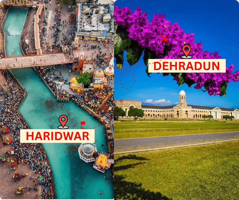
By Road- 54 KM
Road Map-
- Start from Haridwar and head northwest on NH7.
- Continue on NH7 for about 50 kilometers, passing through towns like Roorkee.
- As you approach Dehradun, you will merge onto NH72A.
- Follow NH72A for about 10 kilometers into Dehradun city.
Lucknow to Haridwar Distance
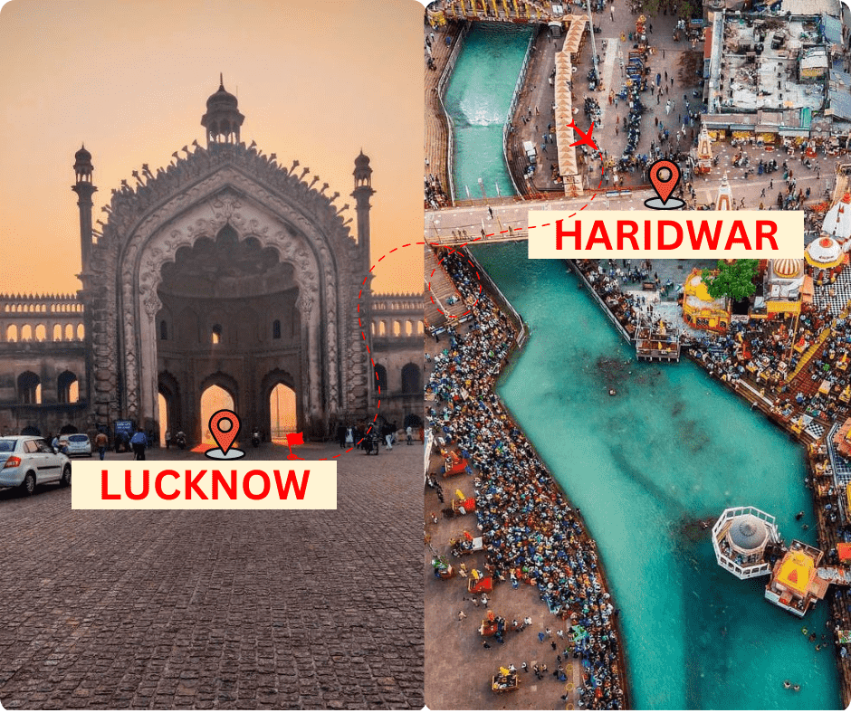
By Road – 520 KM
Road Map-
- Start from Lucknow and head west on NH30.
- Continue on NH30 for about 45 kilometers, then merge onto NH27.
- Follow NH27 for about 230 kilometers, passing through towns like Hardoi and Shahjahanpur.
- Near Bareilly, merge onto NH530 and continue for about 35 kilometers.
- Merge onto NH734A and follow this road for about 85 kilometers, passing through Najibabad.
- Finally, merge onto NH334 and follow signs to Haridwar.
Saharanpur to Haridwar Distance
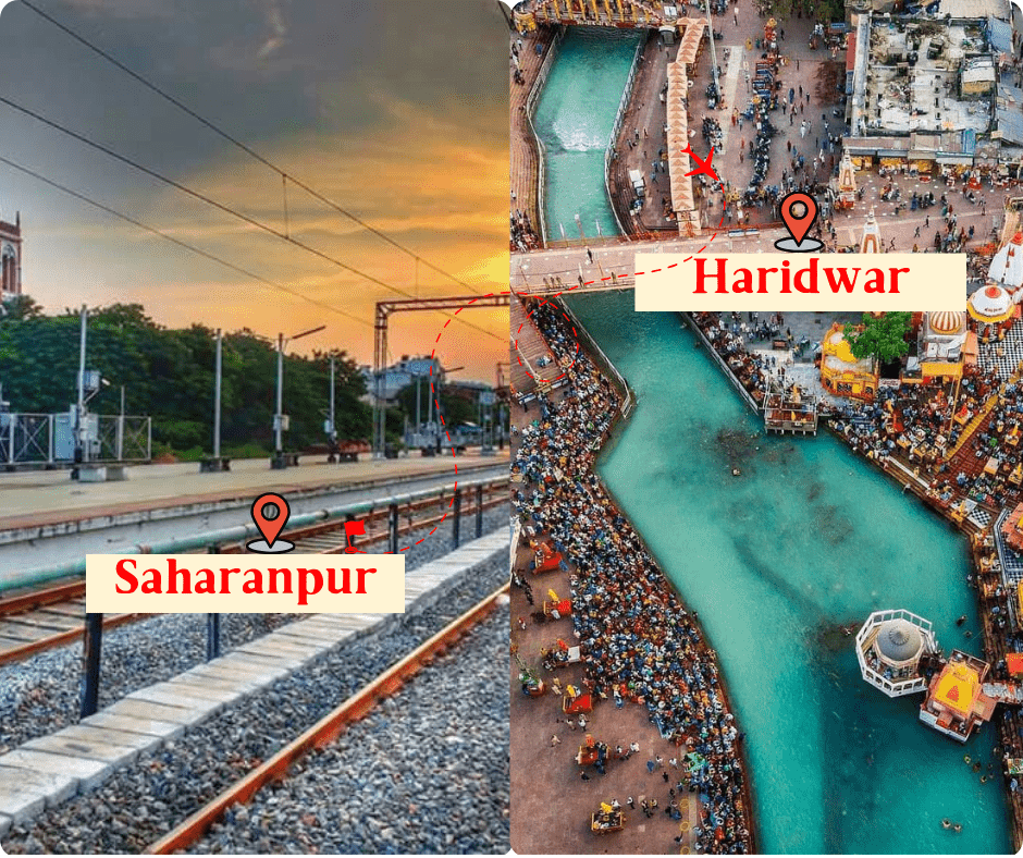
By Road – 75 KM
Raod Map-
- Start from Saharanpur and head west on SH57.
- After about 15 kilometers, turn right onto NH344.
- Follow NH344 for about 45 kilometers, passing through towns like Roorkee.
Agra to Haridwar Distance
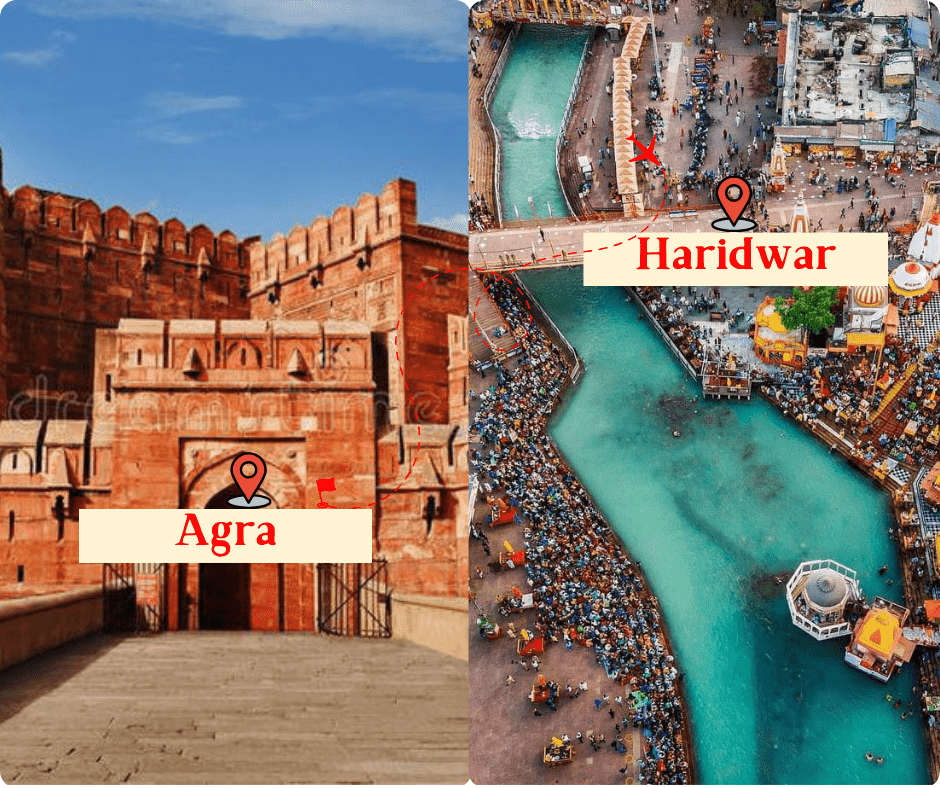
By Road- 360 KM
Road Map-
- Start from Agra and head northwest on NH19.
- Continue on NH19 for about 150 kilometers, passing through towns like Hathras and Aligarh.
- Near Khatauli, merge onto NH334B.
- Follow NH334B for about 100 kilometers, passing through towns like Roorkee.
Jaipur to Haridwar Distance
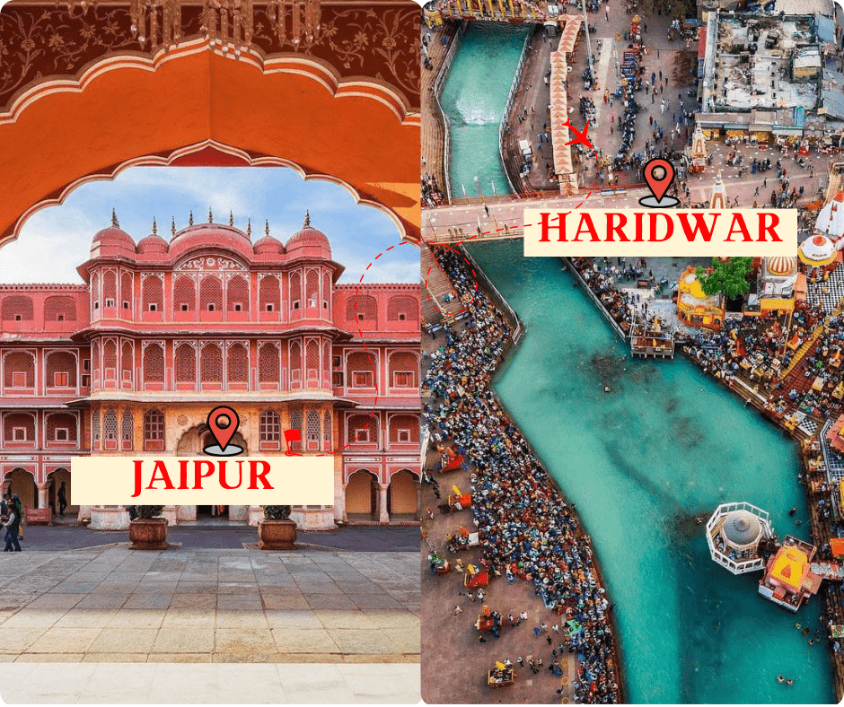
By Road- 480 KM
Road Map-
- Start from Jaipur and head north on NH48.
- Continue on NH48 for about 260 kilometers, passing through towns like Shahpura, Behror, and Neemrana.
- Near Behror, merge onto NH 44.
- Follow NH44 for about 100 kilometers, passing through towns like Alwar and Kotputli.
- Near Shahpura, merge onto NH 48.
- Continue on NH48 for about 110 kilometers, passing through towns like Behror and Neemrana.
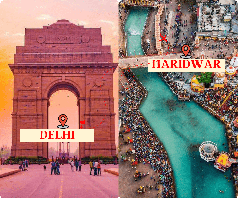
By Road- 246 KM
Raod Map-
- Start from Delhi and head north on NH44.
- Continue on NH44 for about 180 kilometers, passing through towns like Meerut and Muzaffarnagar.
- Near Muzaffarnagar, merge onto NH 334.
- Follow NH334 for about 70 kilometers, passing through towns like Roorkee.
Haridwar to Mussoorie distance
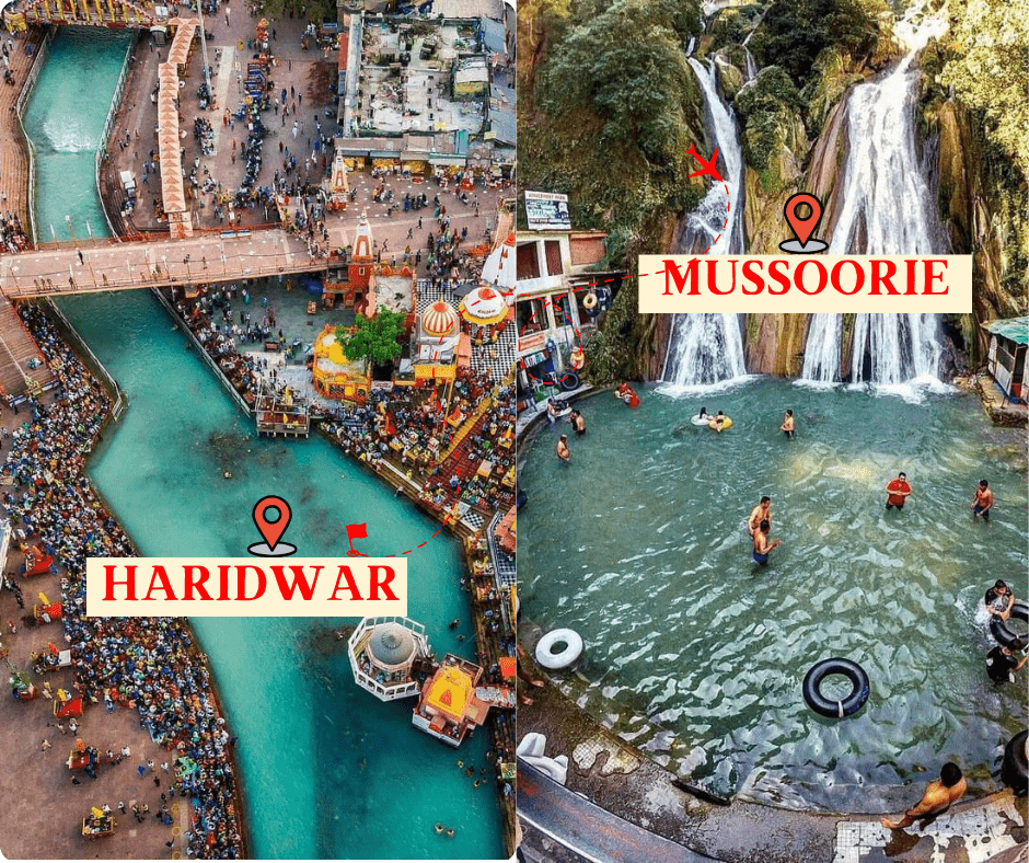
By Road- 85 Km
Raod Map-
- Start from Haridwar and head northwest on NH7.
- Continue on NH7 for about 20 kilometers, then take the exit toward Rishikesh.
- Merge onto Rishikesh-Badrinath Road and continue for about 15 kilometers.
- In Rishikesh, follow signs for Dehradun and merge onto NH34.
- Continue on NH34 for about 15 kilometers, then take the exit toward Dehradun.
- Merge onto Dehradun Road and continue for about 10 kilometers.
- In Dehradun, follow signs for Mussoorie and merge onto Mussoorie Road.
- Continue on Mussoorie Road for about 35 kilometers, passing through towns like Rajpur.
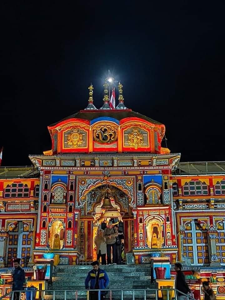
Haridwar to Badrinath Distance
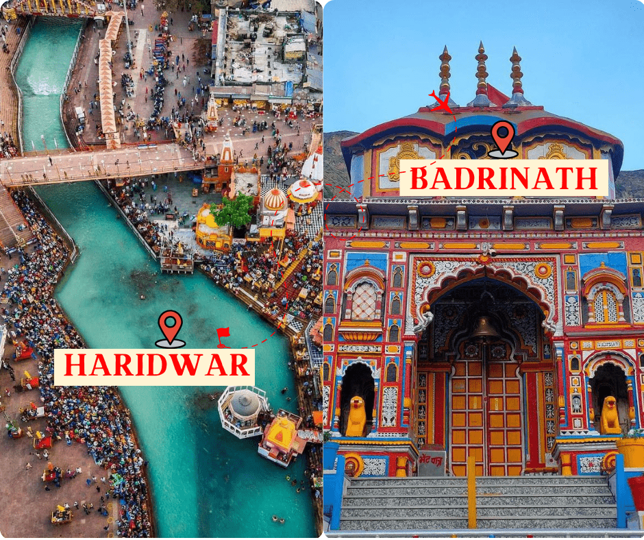
By Road- 320 KM
Road Map-
- Start from Haridwar and head northwest on NH7.
- Continue on NH7 for about 200 kilometers, passing through towns like Rishikesh, Devprayag, and Srinagar.
- Near Rudraprayag, take the road on the right toward Karnaprayag.
- Continue on this road for about 60 kilometers, passing through Karnaprayag.
- After Karnaprayag, continue on NH7 for about 100 kilometers, passing through Joshimath.
- From Joshimath, take the road toward Badrinath and continue for about 50 kilometers.
- Finally, you will reach Badrinath.
Rishikesh to Haridwar Distance
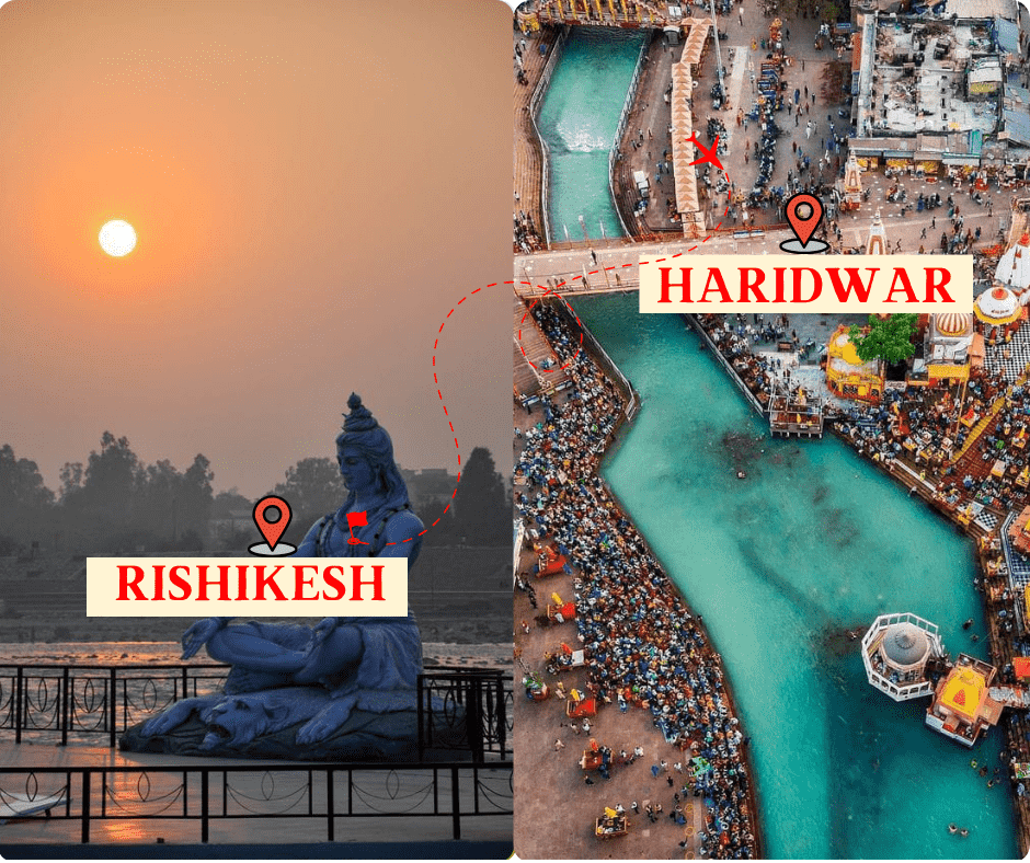
By Road- 20 KM
Road Map-
- Start from Rishikesh and head south on NH7.
- Continue on NH7 for about 20 kilometers.
Mathura to Haridwar Distance
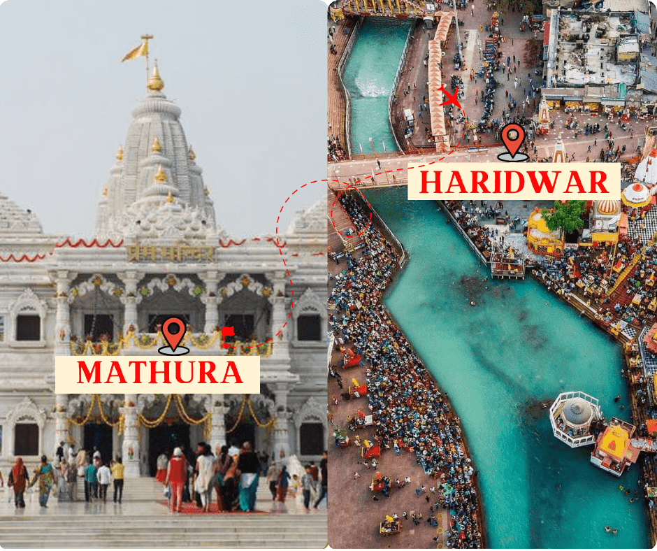
By Road- 390 KM
Road Map-
- Start from Mathura and head northwest on NH19.
- Continue on NH19 for about 230 kilometers, passing through towns like Hathras, Aligarh, and Khatauli.
- Near Khatauli, merge onto NH334B.
- Follow NH334B for about 100 kilometers, passing through towns like Roorkee.
Haridwar to Auli Distance
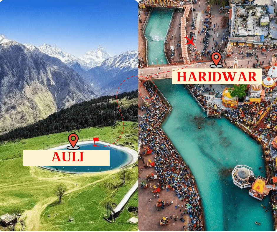
By Road- 320 KM
Road Map-
- Start from Haridwar and head northwest on NH7.
- Continue on NH7 for about 170 kilometers, passing through towns like Rishikesh, Devprayag, and Srinagar.
- Near Rudraprayag, take the road on the right toward Karnaprayag.
- Continue on this road for about 60 kilometers, passing through Karnaprayag.
- After Karnaprayag, continue on NH7 for about 40 kilometers, then turn left onto Joshimath Road.
- Follow Joshimath Road for about 15 kilometers, passing through towns like Chamoli and Pipalkoti.
- In Joshimath, take the Auli Road and continue for about 15 kilometers.
- Finally, you will reach Auli.
Haridwar to Ayodhya Distance
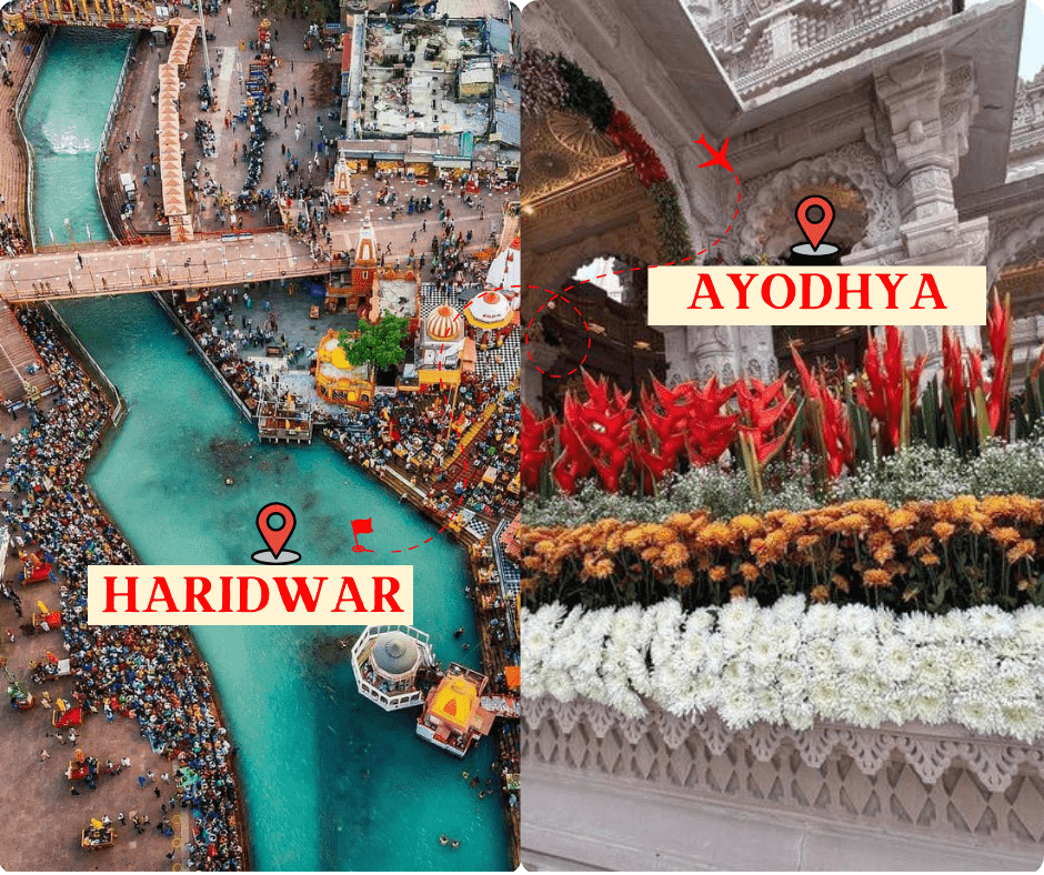
By Road-685 KM
Road Map-
- Start from Haridwar and head southeast on NH7.
- Continue on NH7 for about 150 kilometers, passing through towns like Najibabad, Bijnor, and Moradabad.
- Near Moradabad, merge onto NH30.
- Follow NH30 for about 70 kilometers, passing through towns like Rampur and Shahjahanpur.
- Near Shahjahanpur, merge onto SH25.
- Continue on SH25 for about 100 kilometers, passing through towns like Gola Gokarannath and Lakhimpur.
- You Will Reach Ayodhya.
Haridwar to Yamunotri Distance
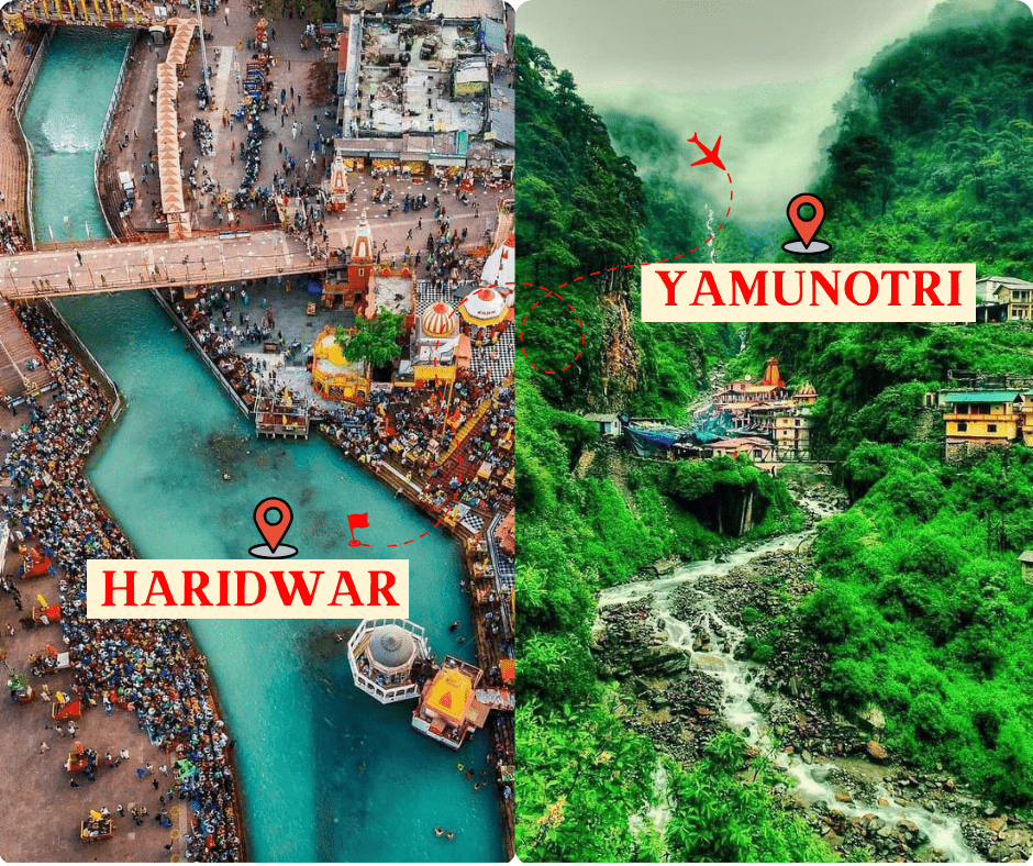
By Road- 218 KM
Road Map-
- Start from Haridwar and head northwest on NH7.
- Continue on NH7 for about 175 kilometers, passing through towns like Rishikesh, Chamba, and Tehri.
- Near Chamba, take the road on the right toward New Tehri.
- Continue on this road for about 25 kilometers, passing through New Tehri.
- After New Tehri, take the road toward Dharasu and continue for about 30 kilometers.
- Near Dharasu, take the left turn toward Yamunotri.
- Follow this road for about 30 kilometers, passing through towns like Barkot and Jankichatti.
- Finally, you will reach Yamunotri.
Haridwar to Chandigarh Distance
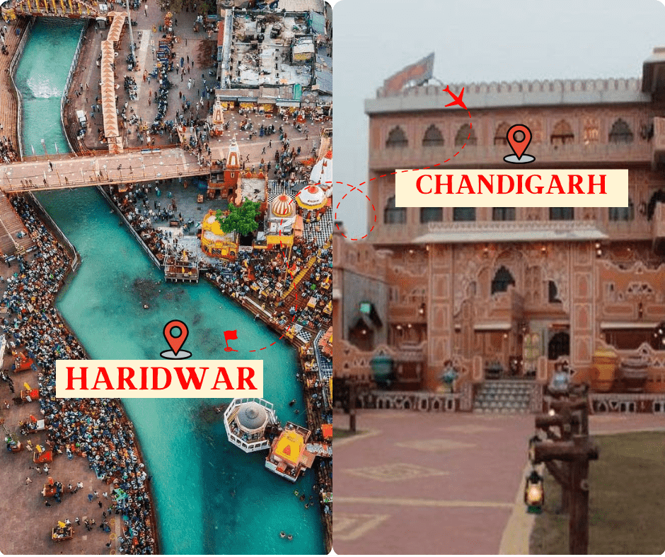
By Road- 200 KM
Road Map-
- Start from Haridwar and head north on NH7.
- Continue on NH7 for about 100 kilometers, passing through towns like Roorkee and Dehradun.
- Near Dehradun, merge onto NH72A.
- Follow NH72A for about 20 kilometers, then merge onto NH7 again.
- Continue on NH7 for about 110 kilometers, passing through towns like Paonta Sahib and Nahan.
- Near Panchkula, merge onto NH152.
- Follow NH152 for about 10 kilometers, then merge onto NH5.
- Continue on NH5 for about 5 kilometers, then take the exit toward Chandigarh.
- Merge onto Madhya Marg and continue for about 5 kilometers.
- You will reach Chandigarh, follow signs to your specific destination within the city.
Haridwar to Gaurikund Distance
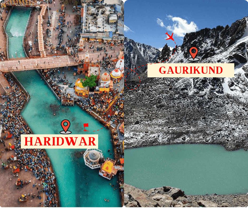
By Road- 235 KM
Road Map-
- Start from Haridwar and head northwest on NH7.
- Continue on NH7 for about 200 kilometers, passing through towns like Rishikesh, Devprayag, and Srinagar.
- Near Rudraprayag, take the road on the right toward Karnaprayag.
- Continue on this road for about 60 kilometers, passing through Karnaprayag.
- After Karnaprayag, continue on NH7 for about 100 kilometers, passing through towns like Chamoli and Birahi.
- Finally, you will reach Gaurikund.
Haridwar to Vrindavan Distance

By Road- 175 KM
Road Map-
- Start from Haridwar and head south on NH334.
- Continue on NH334 for about 70 kilometers, passing through towns like Roorkee.
- Near Muzaffarnagar, merge onto NH34.
- Follow NH34 for about 90 kilometers, passing through towns like Meerut and Modinagar.
- Near Khatauli, merge onto NH58.
- Continue on NH58 for about 70 kilometers, passing through towns like Muradnagar and Ghaziabad.
- Near Ghaziabad, merge onto NH9.
- Follow NH9 for about 90 kilometers, passing through towns like Noida and Greater Noida.
- Near Jewar, merge onto Yamuna Expressway.
- Continue on Yamuna Expressway for about 60 kilometers, passing through towns like Mathura.
- In Mathura, follow signs to Vrindavan, which is about 10 kilometers away from the expressway exit.
- You will reah Vrindavan, follow signs to your specific destination within the city.
Haridwar Distance
1. Kanpur to Haridwar Distance |
2. Noida to Haridwar Distance |
3. Ludhiana to Haridwar Distance |
4. Panipat to Haridwar Distance |
5. Faridabad to Haridwar Distance |
6. Haridwar to kainchi Dham |
7. Jammu to Haridwar Distance |
8. Ahmedabad to Haridwar |
9. Haridwar to Chopta Distance |
By Road
510 KM |
200 KM |
280 KM |
200 KM |
240 KM |
180 KM |
440 KM |
1200 KM |
210 KM |
Via NH
NH 34 |
NH 334 & NH334B |
NH44 |
NH44 |
NH334 |
NH334 & NH109 |
NH44 & NH344 |
NH48 & Nh27 |
NH7 & NH109 |

